Volume 15 (1.3)/2023
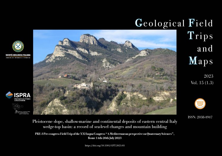
Pleistocene slope, shallow-marine and continental deposits of eastern central Italy wedge-top basin: a record of sea-level changes and mountain building
PRE-3 Pre-congress Field Trip of the XXI Inqua Congress "A Mediterranean perspective on Quaternary Sciences", Rome 14th-20th July 2023
DOI: https://doi.org/10.3301/GFT.2023.03 - Pages: 1-75
Claudio Di Celma1, Andrea Artoni2, Danica Jablonská1, Elisa Mammoliti1, Michele Malavolta1, Michela Principi1, Mauro Caffau3, Petros Didaskalou1 & Gino Cantalamessa1
1Scuola di Scienze e Tecnologie, Università degli Studi di Camerino, Via Gentile III da Varano 7, 62032 Camerino (MC), Italy.
2Dipartimento di Scienze Chimiche, della Vita e della Sostenibilità Ambientale, Università degli Studi di Parma, Parco Area delle Scienze 157/A, 43124 Parma, Italy. 3 Istituto Nazionale di Oceanografia e di Geofisica Sperimentale, OGS, Borgo Grotta Gigante 42/C 34010 – Sgonico (TS), Italy.
Corresponding author e-mail: claudio.dicelma@unicam.it
Abstract
This guidebook to Pleistocene sediments exposed in eastern central Italy has been prepared for the PRE-3 geological field trip accompanying the XXI INQUA Congress held in Rome, Italy, in July 2023. It is designed to provide an overview of the sedimentological features, stratigraphic architecture and basin evolutionary steps during the Pleistocene of the central portion of the Periadriatic basin (Central Periadriatic Basin), a N-S oriented foreland basin system associated to the Central Apennine Outer Orogenic Wedge. The Central Periadriatic Basin stretches along the Marche and Abruzzo regions and is an excellent example of an evolving mountain chain and associated deep-marine to fluvial-alluvial foredeep and wedge-top basin system. By integrating surface and subsurface datasets, this field trip affords a fine west to east transect through the Pleistocene basin-fill in southern Marche, where exposures allow a close examination of sedimentary facies and architecture of depositional systems. The basin- fill succession includes coarse-grained submarine canyon-fills encased in slope mudstones, mixed beachface-shoreface conglomerates and sandstones, and alternating conglomerate and mudstone bodies interpreted as fluvial-channel and floodplain deposits, respectively. The analysis of facies architecture and discontinuity surfaces will allow the attendees to understand the relative role of sea-level changes, sediment supply, and thrust front propagation inside the foreland basins system as several factors controlling the stratigraphic record.
Keywords
